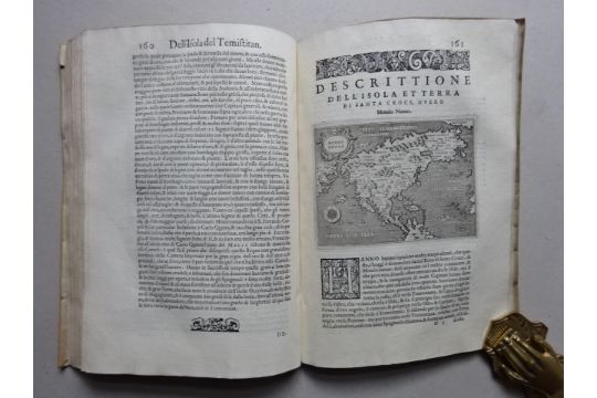
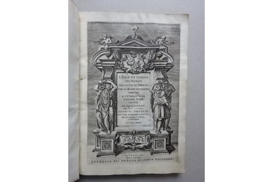
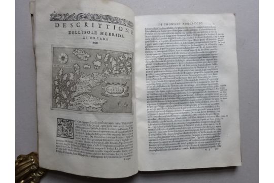
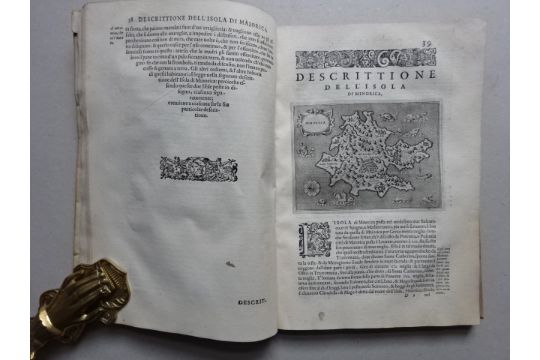
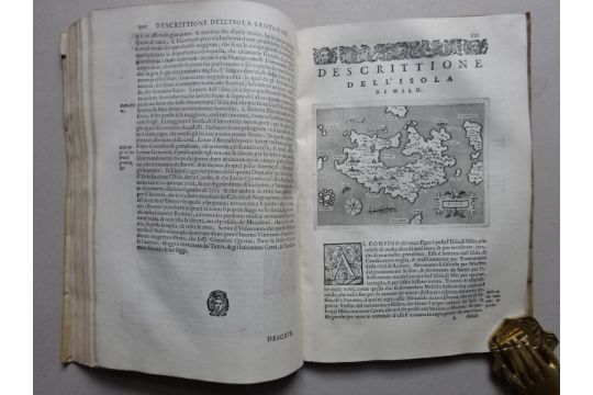
Third edition of Porcacchi’s Insularium which, compared to the first edition of 1572, expanded by 17 maps and almost twice in text. Porcacchi’s work is at the end of a long-lasting, nautical Italian tradition of representing the world in islands, at the same time it is the first island book with engraved maps. – Pages 157-184 deals with the American islands, including a plan of Temistitan (Mexico), a general map of North-America, maps of Hispaniola, Cuba, Jamaica, S. Lorenzo and S. Giovanni as well as (pp. 193-201) a general map and a maritime chart of the world description’ (Muller). Also with maps of Iceland, Hebrides, Gotland, Ireland, Britain, Holland, Malta, Rhodes and various islands of the Aegean etc. and views of Venice and Constantinople. Extremely fine and ink-strongly printed maps. Size of each map is about 11 x 15 cm – Title with shaved stamp – Only occasionally slightly damp.
Bibliography: Phillips 167 (edition 1576) and Shirley 127/128 (for the world and sea maps).

