Description
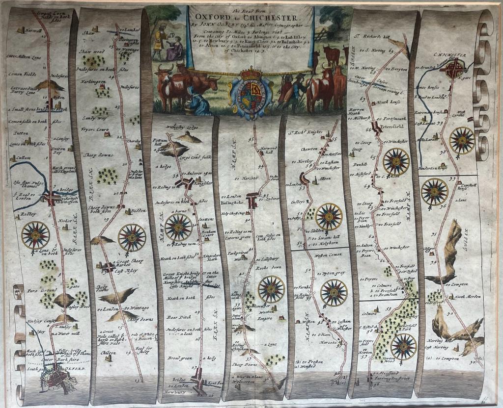
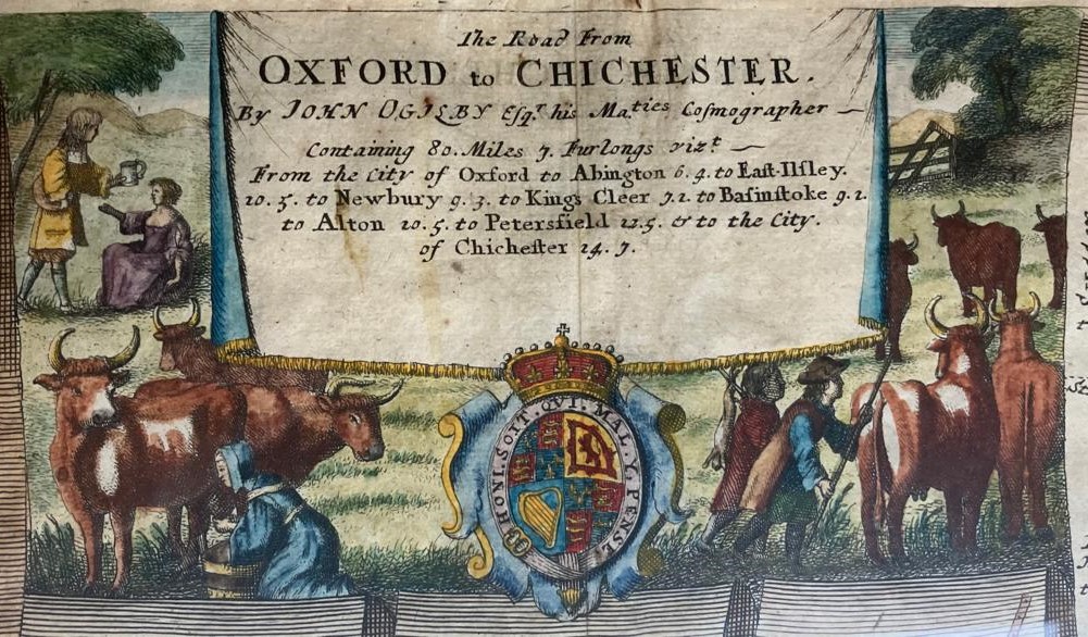
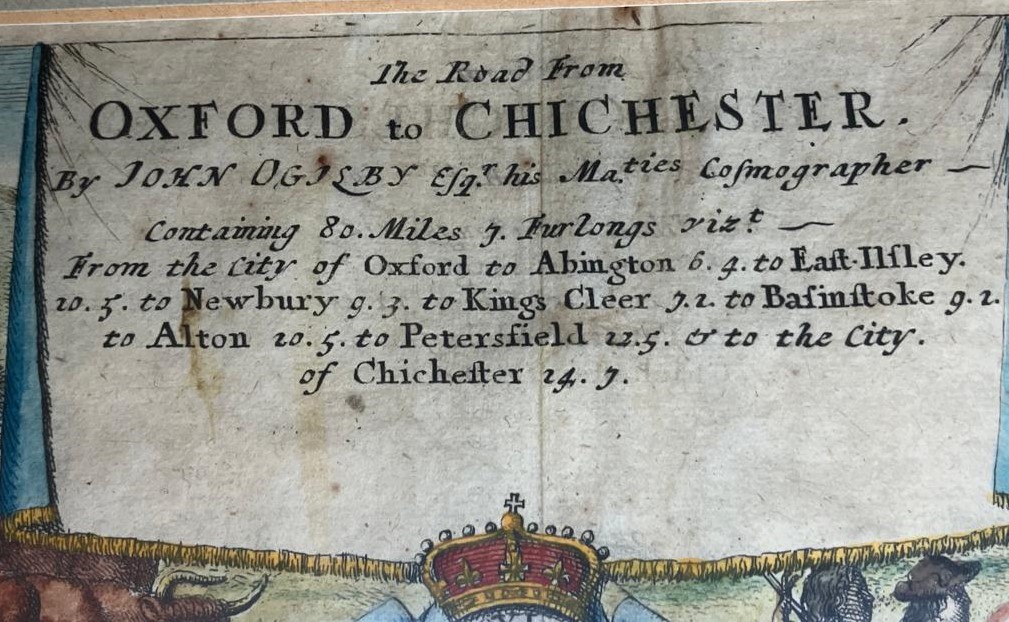
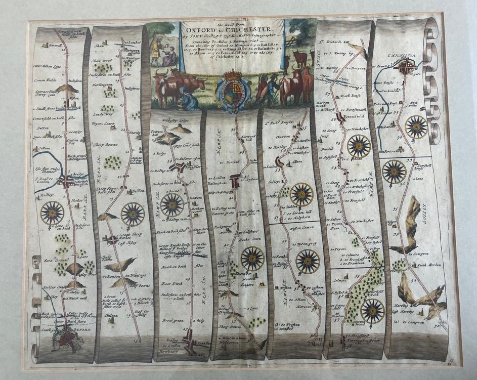
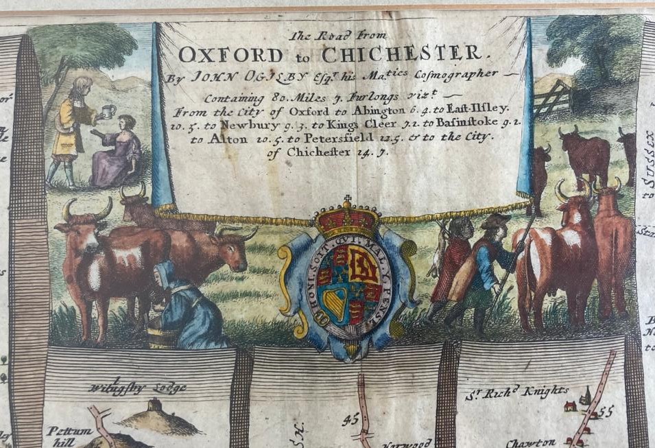
From Britannia, volume the first, or an illustration of the kingdom of England and dominion of Wales, by a geographical and historical description of the principal roads thereof … / by John Ogilby.
London, 1675
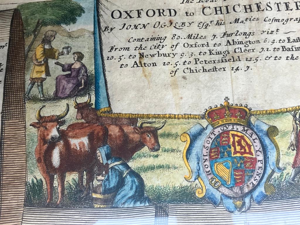
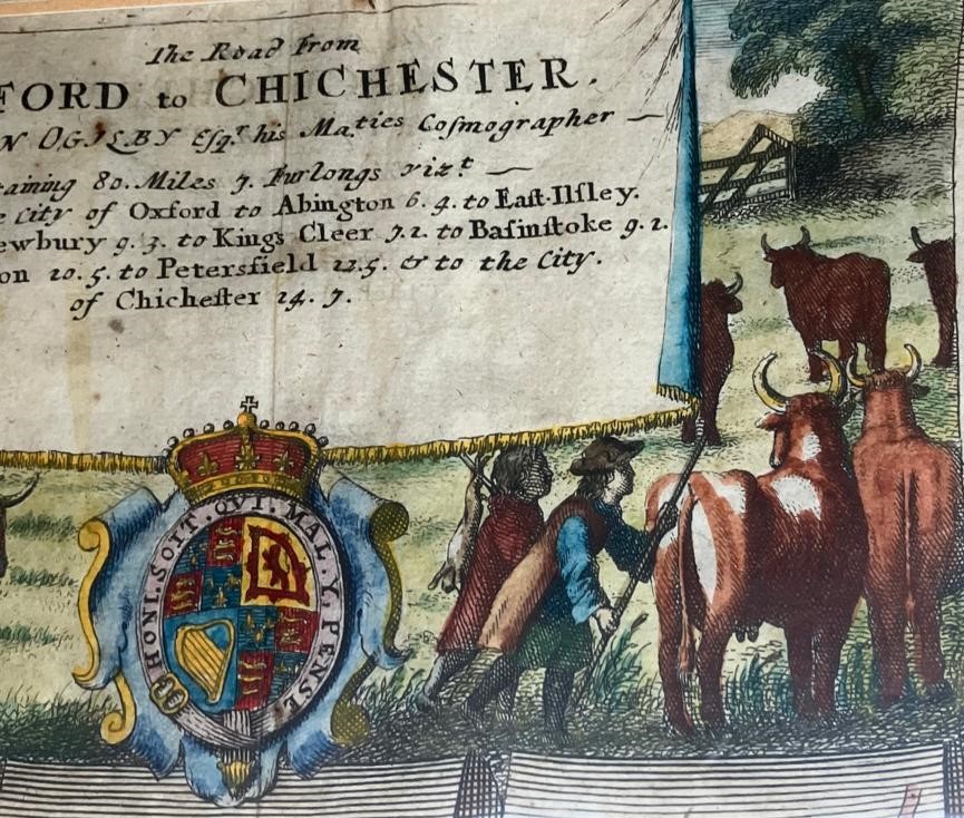
Contemporary hand-colored copper engraving map segments by John Ogilby. Attributed to Wenceslaus Hollar (1607-77), engraver. Dimensions: 43 x 35.5 cm without the page margins.
Comments:
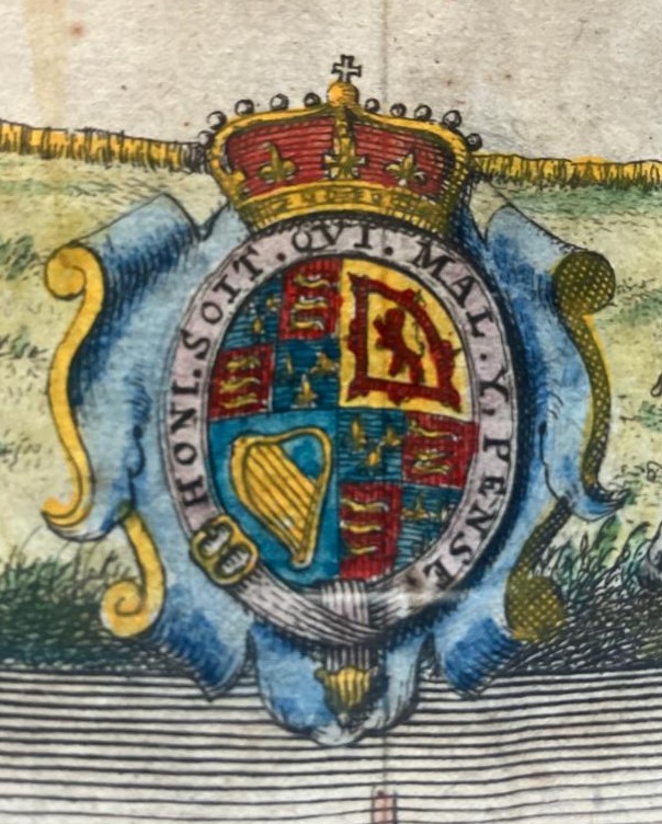
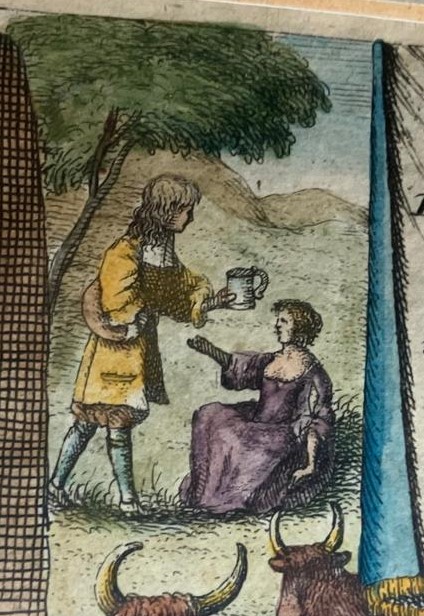
First edition. Part of Britannia, the first real road atlas. After an adventurous life John Ogilby, also establishing Ireland’s very first theater, the Theatre Royal in Dublin, finally turned his hand to cartography, being appointed “His Majesty’s Cosmographer” in 1674. By that time he had published a number of atlases, some of them in collaboration with the Dutch cartographer Jacob van Meurs, including volumes on Africa and Japan (1670) and an Atlas Chinensis (1671). Yet a much ambitious project had already begun: the entire new map of Britain. To achieve it, he took three years to survey the length and breadth of the land, traveling around 26,000 miles (42.000 km) along the way. Britannia amounted to 300 pages, with 100 map plates, and weighted in at an impressive 6.8 kg. It contained not a simple topographical map of the country but a series of strip maps, showing the principal roads and other routes between England’s main towns. All unnecessary material was stripped out, though he did include number of decorative engravings, such as those of Neptune and the nymph Thetis (mother of Achilles). (Philippe Parker).
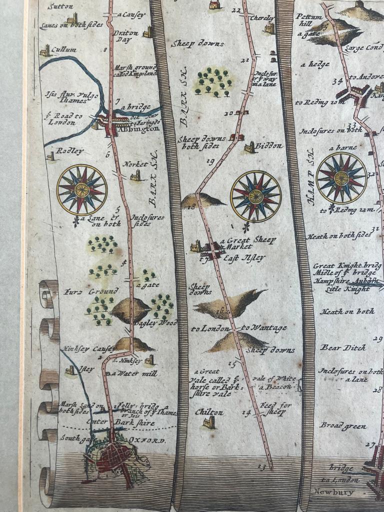
Each of his plate, which between them mapped out 73 principal roads, was drawn at a uniform scale of an inch to a mile, the first time this had been achieved.
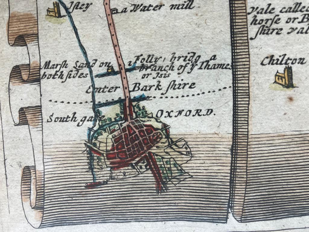
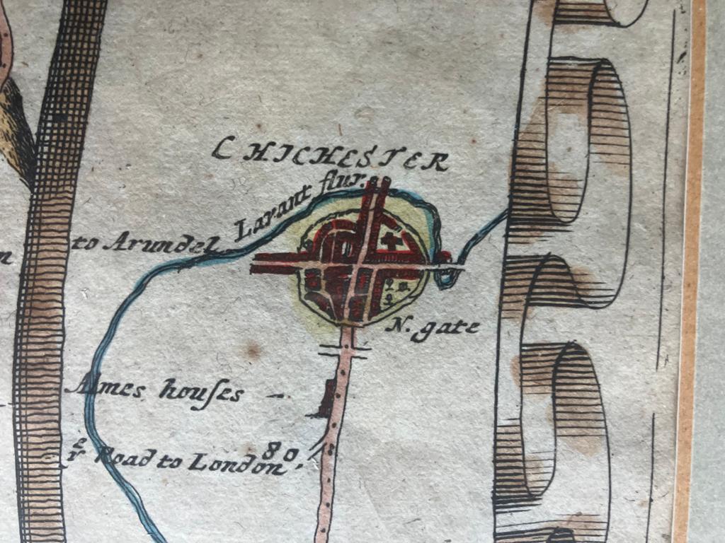
Probably intended to be a multi-volume work covering the entire British Isles, only the first volume on England and Wales was published. Nevertheless, it was an immediate success, primarily due to the use of a standardized scale in each of the plates (one inch to a kilometer), and its innovative use of a scroll effect to illustrate the routes. In order to avoid confusion, the maps are relatively minimalist, opting to show only the route concerned, leaving further details to descriptive passages on the following pages.

